

Recomienda este artículo a tus amigos:
Rand McNally Easy to Read: Connecticut, Rhode Island State Map
Rand McNally
Pedido desde almacén remoto
Nuestros clientes opinan:

Rand McNally Easy to Read: Connecticut, Rhode Island State Map
Rand McNally
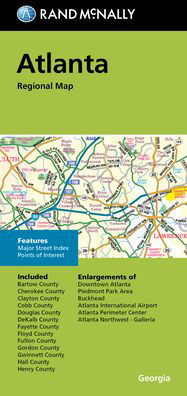
Rand McNally's Easy To Read State Folded Map is a must-have for anyone traveling in and around Connecticut and Rhode Island, offering unbeatable accuracy and reliability at a great price. Our trusted cartography shows all Interstate, U. S., state, and county highways, along with clearly indicated parks, points of interest, airports, county boundaries, and streets. The easy-to-use legend and detailed index make for quick and easy location of destinations. You'll see why Rand McNally folded maps have been the trusted standard for years. -Regularly updated, full-color maps. -77% larger map with a bigger type size than the Rand McNally Folded Map. -Clearly labeled Interstate, U. S., state, and county highways. -Indications of parks, points of interest, airports, county boundaries, and more. - Mileage and driving times map. -Detailed index. -Convenient folded size. Coverage Area Detailed maps of: Bridgeport/New Haven, CT; Fall River, MA; Hartford, CT; New London, CT; Newport, RI; Providence, RI; Stamford, CT; Springfield, MA; Waterbury, CT. Product Details: Dimensions (unfolded): 28 x 40.
| Medios de comunicación | Libros Map (Cartas terrestres o náuticas) |
| Publicado | 11 de octubre de 2021 |
| ISBN13 | 9780528025679 |
| Editores | Rand McNally |
| Dimensiones | 102 × 226 × 15 mm · 113 g |
| Lengua | English |
Mas por Rand McNally


Otros también han comprado
![Cover for Preben Hansen · Turen Går Til: Turen går til Californien & Vestlige USA (Sewn Spine Book) [5.º edición] (2021)](https://imusic.b-cdn.net/images/item/original/578/9788740063578.jpg?preben-hansen-2021-turen-gaar-til-turen-gaar-til-californien-vestlige-usa-sewn-spine-book&class=scaled&v=1623395637)
![Cover for Anne Hjernøe · Stærk, let og mæt (Bound Book) [1.º edición] (2019)](https://imusic.b-cdn.net/images/item/original/526/9788740046526.jpg?anne-hjernoee-2019-staerk-let-og-maet-bound-book&class=scaled&v=1614761186)
![Cover for Dee Brown · Bury My Heart at Wounded Knee: An Indian History of the American West (Paperback Book) [1st edition] (2007)](https://imusic.b-cdn.net/images/item/original/843/9780805086843.jpg?dee-brown-2007-bury-my-heart-at-wounded-knee-an-indian-history-of-the-american-west-paperback-book&class=scaled&v=1410186719)


Ver todo de Rand McNally ( Ej. Paperback Book , Map , Hardcover Book , Book y Spiral Book )