

Recomienda este artículo a tus amigos:
Kimberley, The: Featuring the Gibb River Road 15.º edición
Hema Maps
Nuestros clientes opinan:

Kimberley, The: Featuring the Gibb River Road 15.º edición
Hema Maps
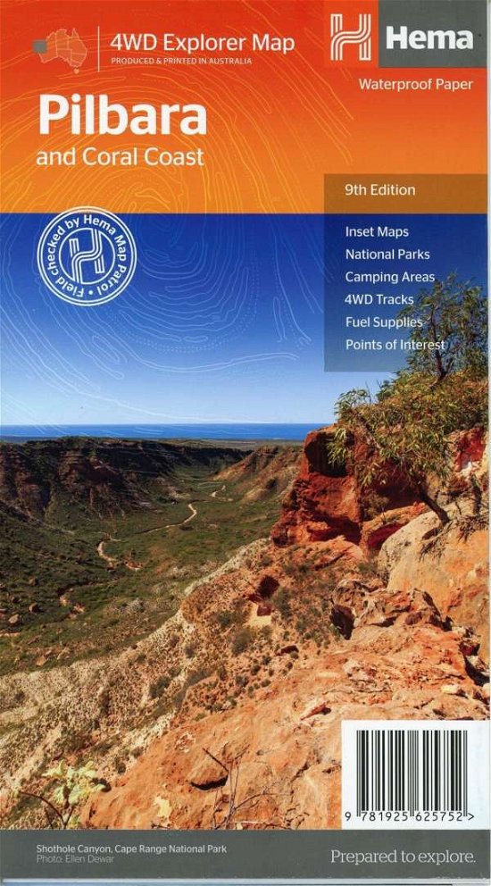
15th edition 2017. A regional map of the Kimberley that features the iconic Gibb River Road. On the reverse are inset maps for Purnululu National Park, the Dampier Peninsula and the Parry Creek area. There is also extensive drive detail and trip coverage for the Gibb River Road. Waterproof paper Detailed 4WD tracks National parks Camping areas GPS surveyed roads & tracks This new edition of Hema's best-selling Kimberley map features our latest mapping and points of interest in a stunning new cartographic style. It combines Hema's entire database of remote roads and 4WD tracks with touring points of interest and topographic information. This waterproof regional map of the Kimberley features the Gibb River Road. On the reverse are inset maps for Purnululu National Park, the Dampier Peninsula and the Parry Creek area. Detailed trip coverage and drive detail for the Gibb River Road is featured as well, with inset mapping covering the journey and corresponding text to guide explorers. Also included is national park information and relevant contact details for pre-trip planning and use on the road or track.
| Medios de comunicación | Libros Map (Cartas terrestres o náuticas) |
| Publicado | 31 de marzo de 2017 |
| ISBN13 | 9781876413705 |
| Editores | Hema Maps |
| Genre | Maps & Guides |
| Dimensiones | 250 g (Peso (estimado)) |
| Lengua | English |
Mas por Hema Maps


Otros también han comprado
![Cover for Lars Saabye Christensen · Byens spor: Byens spor 1 PB (Paperback Book) [4.º edición] (2019)](https://imusic.b-cdn.net/images/item/original/691/9788793661691.jpg?lars-saabye-christensen-2019-byens-spor-byens-spor-1-pb-paperback-book&class=scaled&v=1555274459)
![Cover for Jón Kalman Stefánsson · Menneskets hjerte (Sewn Spine Book) [2.º edición] (2015)](https://imusic.b-cdn.net/images/item/original/282/9788793209282.jpg?jon-kalman-stefansson-2015-menneskets-hjerte-sewn-spine-book&class=scaled&v=1449234938)
![Cover for Jón Kalman Stefánsson · Englenes sorg (Sewn Spine Book) [2.º edición] (2014)](https://imusic.b-cdn.net/images/item/original/765/9788792439765.jpg?jon-kalman-stefansson-2014-englenes-sorg-sewn-spine-book&class=scaled&v=1401351996)
![Cover for Jón Kalman Stefánsson · Himmerige og helvede (Sewn Spine Book) [2.º edición] (2013)](https://imusic.b-cdn.net/images/item/original/536/9788792439536.jpg?jon-kalman-stefansson-2013-himmerige-og-helvede-sewn-spine-book&class=scaled&v=1447690471)
![Cover for Jon Kalman Stefansson · Sommerlys, og så kommer natten (Sewn Spine Book) [2.º edición] (2010)](https://imusic.b-cdn.net/images/item/original/031/9788792439031.jpg?jon-kalman-stefansson-2010-sommerlys-og-saa-kommer-natten-sewn-spine-book&class=scaled&v=1333521475)
![Cover for Lars Saabye Christensen · Byens spor: Byens spor 2 PB (Paperback Book) [4.º edición] (2020)](https://imusic.b-cdn.net/images/item/original/974/9788793661974.jpg?lars-saabye-christensen-2020-byens-spor-byens-spor-2-pb-paperback-book&class=scaled&v=1578607272)
Ver todo de Hema Maps ( Ej. Map , Hardcover Book , Book , Print y Spiral Book )