Nottingham (Arnold & Daybrook) 1899: Nottinghamshire Sheet 38.06 - Old Ordnance Survey Maps of Nottinghamshire (2010) Barrie Trinder Map Facsimile Edition € 7,99
Govan 1894: Lanarkshire Sheet 06.09a - Old Ordnance Survey Maps of Lanarkshire (2011) Gilbert Bell Map € 7,99
Ancoats 1849: Manchester Large Scale Sheet 30 - Old Ordnance Survey Maps of Manchester (2011) Chris Makepeace Map € 7,99
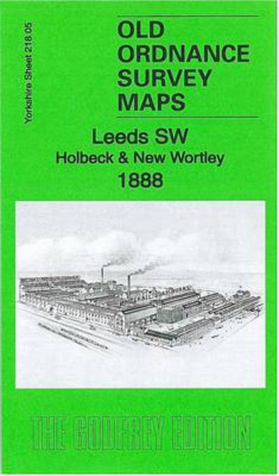
Leeds SW: Holbeck & New Wortley 1888: Yorkshire Sheet 218.05a - Old Ordnance Survey Maps of Yorkshire (2011) Alan Godfrey Map € 7,99
Manchester SW 1916: Lancashire Sheet 104.10b - Old Ordnance Survey Maps of Lancashire (2011) Chris Makepeace Map € 7,99
Central Glasgow 1893: Lanarkshire Sheet 6.10a - Old Ordnance Survey Maps of Lanarkshire (2011) Gilbert Bell Map € 7,99
Toxteth (Mill Street) 1847: Liverpool Large Scale Sheet 39 - Old Ordnance Survey Maps of Liverpool (2012) Kay Parrott Map € 7,99
Wakefield (West) 1905: Yorkshire Sheet 248.06 - Old Ordnance Survey Maps of Yorkshire (2012) Alan Godfrey Map € 7,99
Ancoats (North) 1848: Manchester Large Scale Sheet 25 - Old Ordnance Survey Maps - Yard to the Mile (2012) Chris Makepeace Map € 7,99
Birmingham (South) 1888: Warwickshire Sheet 14.09a - Old Ordnance Survey Maps of Warwickshire (2012) Malcolm Nixon Map € 7,99
Old Basford 1913: Nottinghamshire Sheet 38.09 - Old Ordnance Survey Maps of Nottinghamshire (2013) Barrie Trinder Map € 7,99
Huyton 1906: Lancashire Sheet 107.10 - Old Ordnance Survey Maps of Lancashire (2013) Kay Parrott Map € 7,99
Childwall & Court Hey 1906: Lancashire Sheet 107.13 - Old Ordnance Survey Maps of Lancashire (2014) Kay Parrott Map € 7,99
Hunslet 1890: Yorkshire Sheet 218.10 - Old Ordnance Survey Maps of Yorkshire (2014) Gordon Dickinson Map € 7,99
Macclesfield (South) 1897: Cheshire Sheet 36.12 - Old Ordnance Survey Maps of Cheshire (2014) Chris Makepeace Map 2 Revised Edition € 7,99
Swansea (North) 1897: Glamorgan Sheet 24.01 - Old Ordnance Survey Maps of Glamorgan (2015) Steph Mastoris Map € 7,99
Newcastle & Gateshead 1940: Tyneside Sheet 18.3 - Old Ordnance Survey Maps of Tyneside (2015) Anthea Lang Map € 7,99
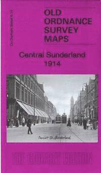
Central Sunderland 1914: County Durham Sheet 8.14b - Old Ordnance Survey Maps of County Durham (2016) Alan Godfrey Map € 7,99
Central Newcastle 1940: Tyneside Sheet 11.3 - Old Ordnance Survey Maps of Tyneside (2016) Anthea Lang Map € 7,99
Glasgow (Hillhead) 1894: Lanarkshire Sheet 6.06a - Old Ordnance Survey Maps of Lanarkshire (2016) Gilbert Bell Map € 7,99
Holborn, the City & the Strand 1873: London Sheet 62.1 - Old Ordnance Survey Maps of London (2017) Pamela Taylor Map € 7,99
Bradford (West) 1906: Yorkshire Sheet 216.07 - Old Ordnance Survey Maps of Yorkshire (2017) Ruth Strong Map € 7,99
Dudley Castle & Tipton Green 1913: Staffordshire Sheet 67.12b - Old Ordnance Survey Maps of Staffordshire (2017) Barrie Trinder Map € 7,99
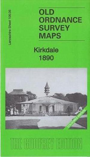
Kirkdale 1890: Lancashire Sheet 106.06 (Coloured Edition) - Old Ordnance Survey Maps of Lancashire (2018) Kay Parrott Map € 8,99
Hove Village & Aldrington 1909: Sussex Sheet 65.12 - Old Ordnance Survey Maps of Sussex (2018) Richard Oliver Map € 7,49
Leigh-on-Sea 1921: Essex (New Series) Sheet 90.04 - Old Ordnance Survey Maps of Essex (2019) Ian Yearsley Map € 7,99
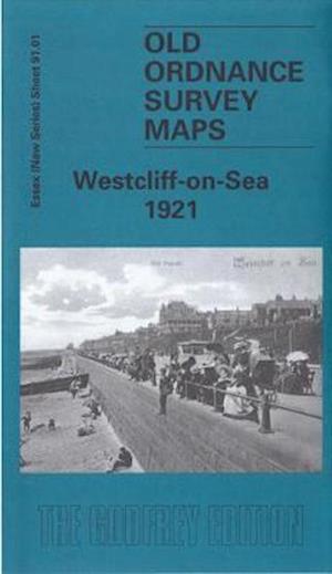
Westcliff-on-Sea 1921: Essex (New Series) Sheet 91.01 - Old Ordnance Survey Maps of Essex (2019) Ian Yearsley Map € 7,99
Coleraine (North) 1904: Londonderry Sheet 7.03 - Old Ordnance Survey Maps of County Londonderry (2019) John Llewellyn Map € 7,99
Glasgow Green 1894: Lanarkshire Sheet 6.15a - Old Ordnance Survey Maps of Lanarkshire (2020) Sheila Duffy Map € 7,99
Garston 1891: Lancashire Sheet 113.12a (Coloured Edition) - Old Ordnance Survey Maps of Lancashire (2020) Alan Godfrey Map € 8,99
Southport (North) 1892: Lancashire Sheet 75.06a - Old Ordnance Survey Maps of Lancashire (2020) Kay Parrott Map € 7,99
Miles Platting 1848: Manchester Large Scale Sheet 19 - Old Ordnance Survey Maps of Manchester (2024) Chris E Makepeace Map € 7,99